

Blog
Notes from the workspace
Practical notes on sharing, annotating, and measuring large 3D scans, written for the people doing the work.
No posts in this category yet.
-
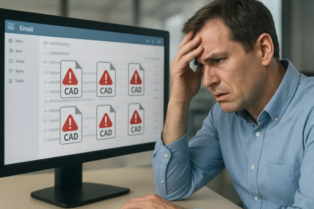
How You Can Stop Emailing CAD Files and Cut Project Delays
In today’s fast‑moving design world, the email inbox has become an unlikely vault for massive CAD and 3D models. Engineers, architects, and surveyors still fling gigabyte‑sized drawings across Outlook, WhatsApp, and WeTransfer, hoping the files will land intact and on time. The reality is far harsher: version chaos, data breaches, and hidden costs are silently…
Read post → -
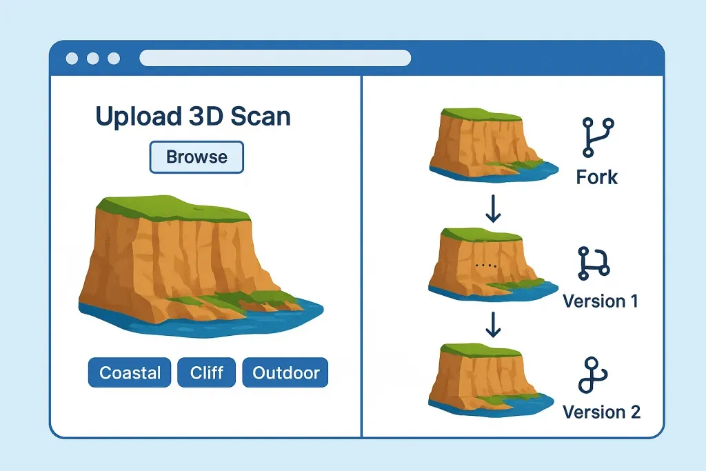
Reimagining Geospatial Collaboration: A GitHub for 3D Maps
In a world where our planet is being digitized at an unprecedented pace—through drone scans, LiDAR surveys, and photogrammetry—imagine a place where all that rich 3D data is open and accessible by everyone. Not locked away in proprietary software or hidden under closed access platforms or worse, scattered across hard drives, but shared, remixed, and…
Read post → -

What’s new in 4.10.0
Recently, we updated the website to version 4.10.0, bringing numerous changes to the platform in the form of new functionality, an improved user experience, and bug fixes.Most of the changes have occurred in the Upload process and Project Workspace. New Features Improved Upload Process – The upload page has been simplified, and uploads should now…
Read post → -

New Upload process
Recently we updated the website to version 4.10.0 which brings numerous changes to the platform in the shape of new functionality, improved user experience and bug fixes. This post will describe the updated upload process, metadata editing process and the addition of a “Draft” state for all assets. We recently updated the website and this…
Read post → -
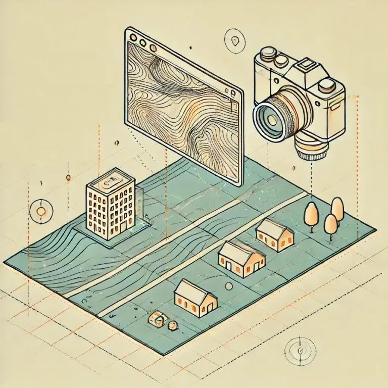
Generating Ortho-Photos from Reality Capture
When generating an ortho-photo using Reality Capture for compatibility with the Construkted Reality platform, it is crucial to follow all necessary steps—particularly one that is often overlooked. To begin, ensure you are following the official ortho-photo generation guide provided by Reality Capture. A commonly missed step is setting the correct coordinate system for the ortho-photo.…
Read post → -

Where to begin
Introduction You’ve signed up for a free account on Construkted Reality and want to explore its features. This article provides a high-level overview of the platform, including links to additional help materials. Main Aspects of the Platform Construkted Reality revolves around three main components: Assets Assets are the 3D models you upload to the platform.…
Read post → -
Description editor: changes
As some of you have noticed, we’ve recently updated the asset and project description fields on our platform. Why Change? We opted for a more simplified text editor to enhance consistency and control over how descriptions appear across different user views. Previously, the rich text editor allowed for varied font styles, sizes, and colors, which…
Read post → -
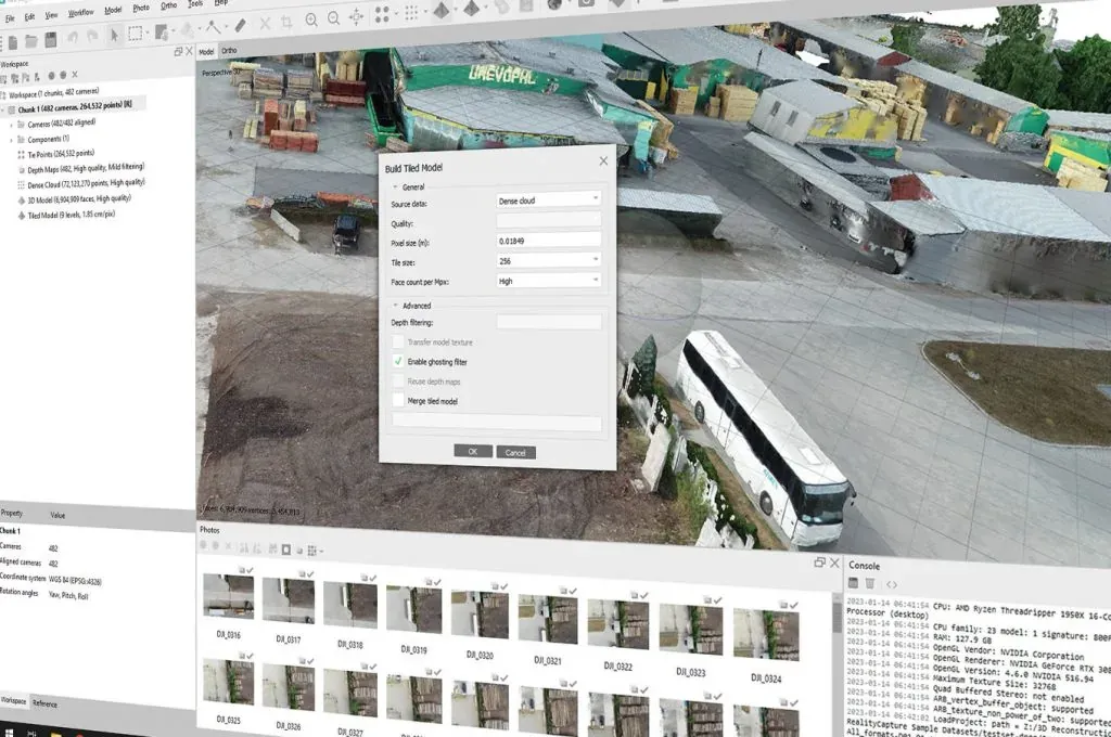
3D Tiles from MetaShape v2.0
Agisoft MetsShape has had the option to export Tiled Models for a long time. This is a writeup on how to export the Tiled Model from MetaShape so you can work with it on the Construkted Reality platform.Exporting a Tiled Model creates a file format which is conducive to streaming the 3d data over the…
Read post → -

Data File Formats
Below is a list of the accepted file formats that Construkted Reality can process and display. Polygon Mesh The following file formats are accepted: OBJ, GLB, and IFC. OBJ and GLB are usually generated by photogrammetry software, where IFC is usually generated by BIM software. For the OBJ and GLB formats, there are no restrictions…
Read post → -
3D Tiles from MetaShape
Agisoft MetsShape has had the option to export Tiled Models for a long time. This is a writeup on how to export the Tiled Model from MetaShape so you can work with it on the Construkted Reality platform.Exporting a Tiled Model creates a file format which is conducive to streaming the 3d data over the…
Read post → -
Multi Ground Control Point geo-referencing
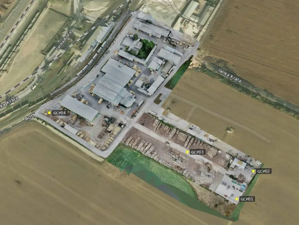
We’ve recently added a new method of geo-refencing your assets on Construkted Reality. The old geo-referencing method involved adding approximate coordinates for the asset location and then using visual tools to refine the position of the asset. This method works for placing an asset in the general location but is not very precise as it’s…
Read post → -
3D Tiles from Reality Capture
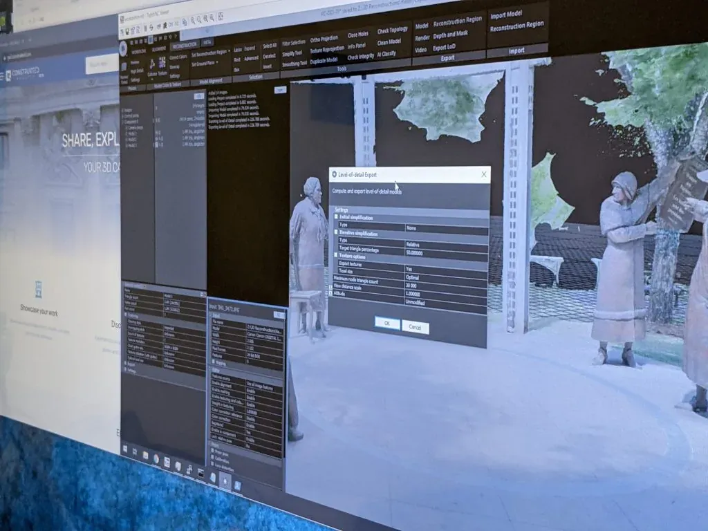
For the past few versions Reality Capture has had an option to export a tiled LOD model. This option creates a file format which is conducive to streaming the 3d data over the web. The three big advantages of uploading data in this format to Construkted Reality are: Process your model First, align your images…
Read post → -
Construkted update – Feb 2021
We have rolled out several changes to the platform which you may find useful. FLY Navigation Switching navigation modes has had a facelift, and now it’s more intuitive which mode is currently active.We have also added a new FLY navigation mode. This mode gives the user the ability to use WASD keys to fly, and…
Read post → -
Scale and rotate your asset
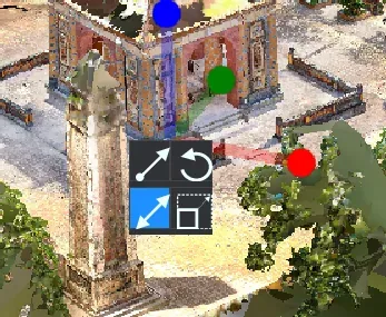
In some cases, your model may not be scaled correctly, and/or it is not in the correct orientation for placing on a map of the planet. If that is the case, you don’t have to re-upload your model. We have tools you can use to adjust your model The tools menu on the right gives…
Read post → -

Using Cesium viewer on your own page
Cesium JS is an open source 3D viewer which can handle displaying very large 3d data sets in both point cloud and/or textured mesh formats. So you’ve got some 3d tiles that you want to display on your own website? First copy those 3d tile files to an S3 bucket or some other web storage…
Read post → -
Bounding Box splitting script
When using Reality Capture, sometimes I’ve needed to break apart the model into smaller sections. This may be useful if you want to process smaller chunks, or if you can’t texture a full mesh, or… whatever specific need you may have. Anyway, here’s the python script.Change the parameters in the INPUTS section and change the…
Read post → -
Photogrammetry from 360 camera
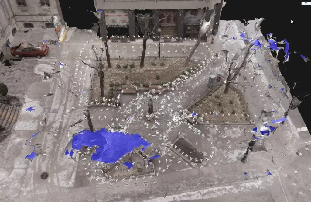
In the winter of 2019 I was in Montreal, Canada visiting friends, and happen to have my GoPro Fusion 360 camera with me so I decided to walk around a parkette (small park) at the corner of Place Phillips and René-Lévesque Blvd W. Final 3d model
Read post → -
Category types
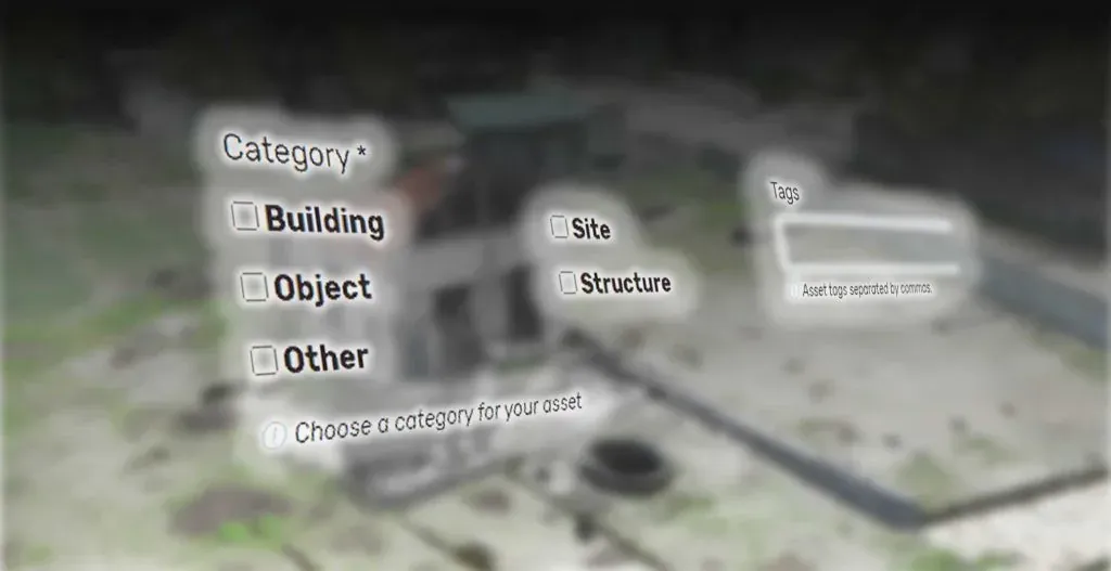
When choosing a category, it’s important to choose the correct category so your assets can be easily searched for. Category resources fall into five categories or types: buildings, sites, structures, objects, or other. A building is a construction created to shelter human activity. Structures are functional constructions usually created for purposes other than creating human…
Read post → -
Embedding assets in your pages
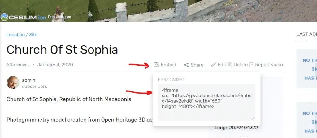
Embedding assets into your own pages is easy. Open up the asset you want to embed, click the “EMBED” button, and copy the html code that is generated for you Adding that code to your html page (or blog post) will generate a window which displays the asset. <iframe src=”https://construkted.com/embed/l4sav2ekd8″ width=”680″ height=”480″></iframe> Changing the width…
Read post → -
Asset Geo-Location
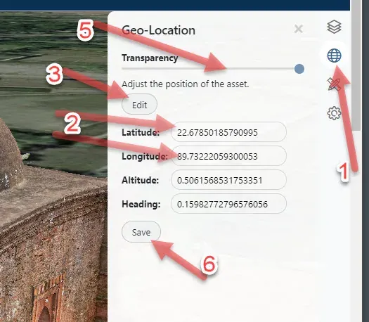
You can place your 3D scan asset anywhere on the planet.We recommend that you place it in the correct geographical location. If your point cloud was alreagy geo-referened before uploading, it will appear in the correct location on the planet.If you uploaded a polygon mesh model, you will have to geo-locate it yourself. To adjust…
Read post → -
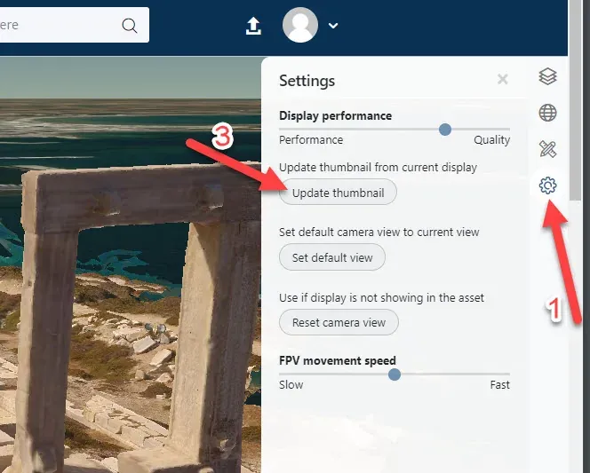
Create an asset thumbnail
Once you upload an asset and the processing is complete, the thumbnail displayed will tell you that the asset thumbnail has not been set yet. In order to set the thumbnail for your asset, the asset needs to be opened. Open up the Settings pop-out menu. Adjust the view of the model Click the Update…
Read post →